Regional lunar gravity anomaly recovery with the GRAIL Level-1b data, and pin-point crustal density estimation with the GRAIL Level-2 and LRO topography data
Abstract:
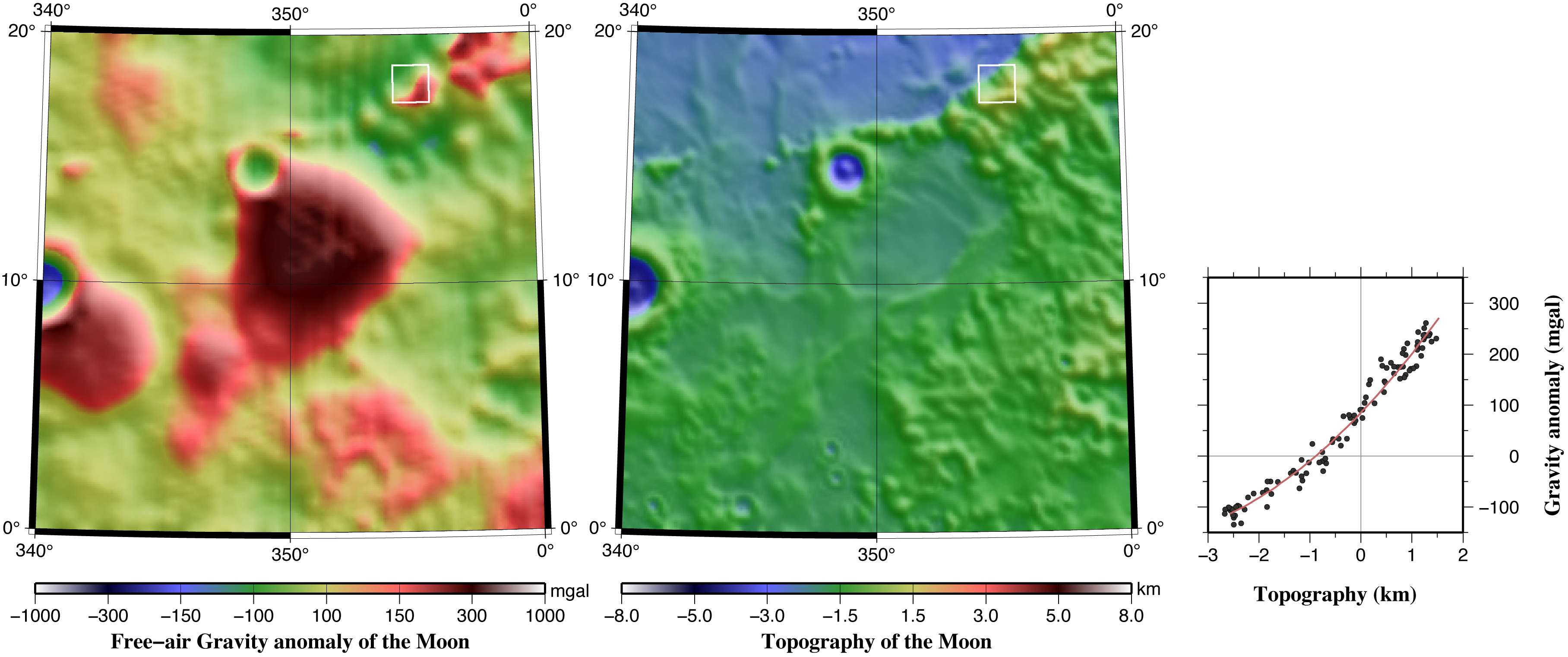
Next, we downloaded the GRAIL Level-2 data set (spherical harmonics with degree/order complete to 660) together with the topography data by LRO laser altimetry, and tried to estimate the pin-point surface crustal density. First, we selected a certain square as large as ~60 km, and compared the gravity and topography values at grid points within the square. They are roughly proportional, and the slope provides information on the density of the material making the topography.
This method, however, causes apparent positive correlation between density and average topographic height of about 0.2 g/cm^3/km. We (wrongly) assume that the mass anomalies lie on the reference surface. Then, the mass above (below) the reference surface is interpreted heavier/lighter than its real density. We performed a-posteriori correction of the altitude-dependent errors in the estimated density.
We finally focus on a few positive gravity anomalies on the nearside (such as those close to the Copernicus crater) that are not associated with any topographic high. We will try to constrain the subsurface structure of the dense material responsible for the anomaly using both Level-1b and -2 data.