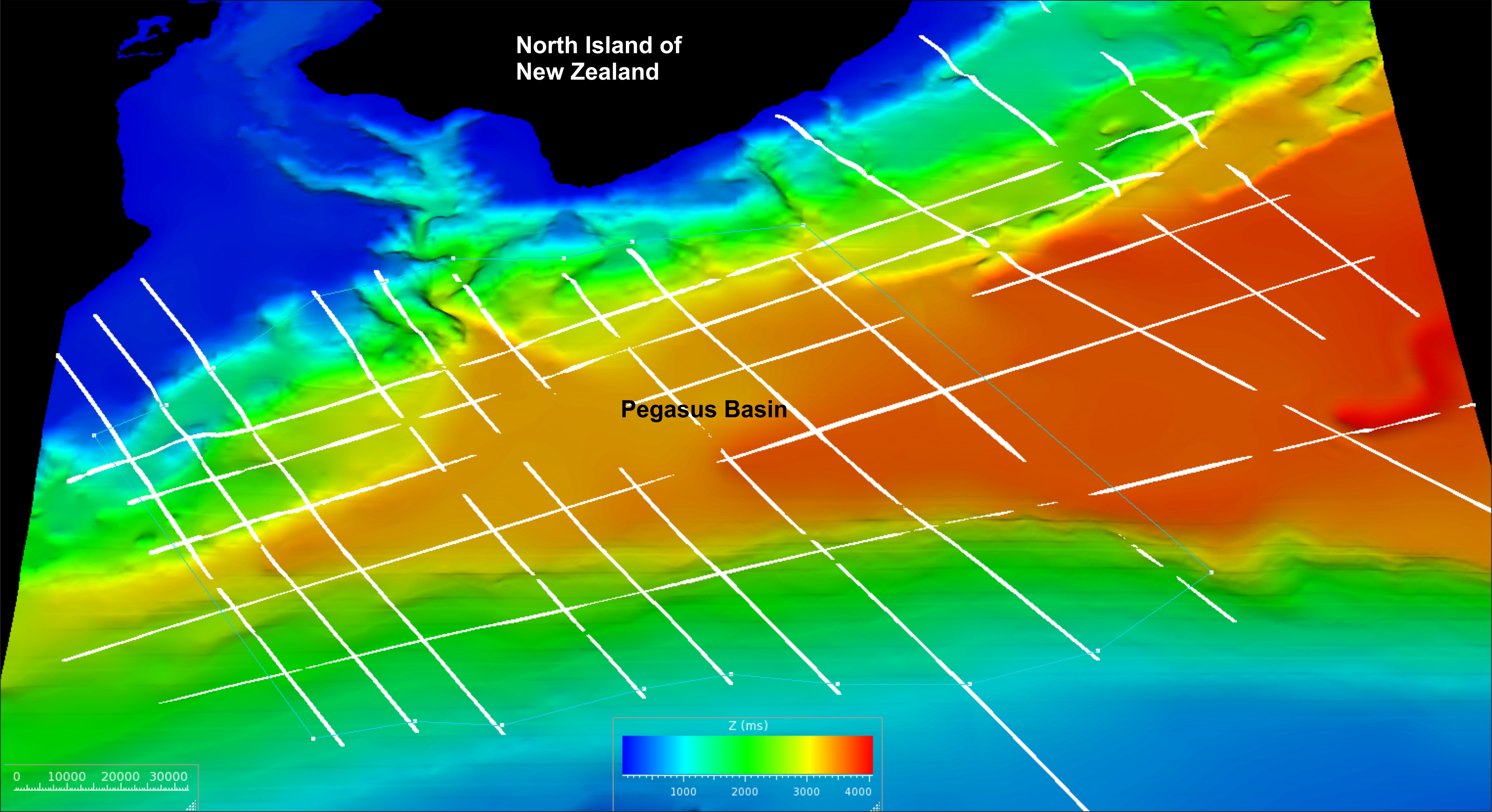
Building a three-dimensional geological model of the Pegasus Basin (offshore New Zealand) with the aim of improving our understanding of gas hydrate distribution
Abstract:
We have used the seismic data, together with previously published age constraints, to identify and map key stratigraphic horizons from the ancient subduction margin (on the southeast), through the sedimentary basin, and up onto the modern subduction margin (on the northwest). We have also used BSRs to map the extent of the gas hydrate system throughout the basin. These interpretations are being used to construct a 3D geological model of the basin that will be converted to depth using seismic velocities from the available data. The geological model will provide the basis for modelling fluid flow processes through the basin and ultimately to simulate gas hydrate formation using Petromod. We will present the latest results of this project and outline the implications for gas hydrate formation in the Pegasus Basin.