An integral image approach to performing multi-scale topographic position analysis
Abstract ID#: 34589
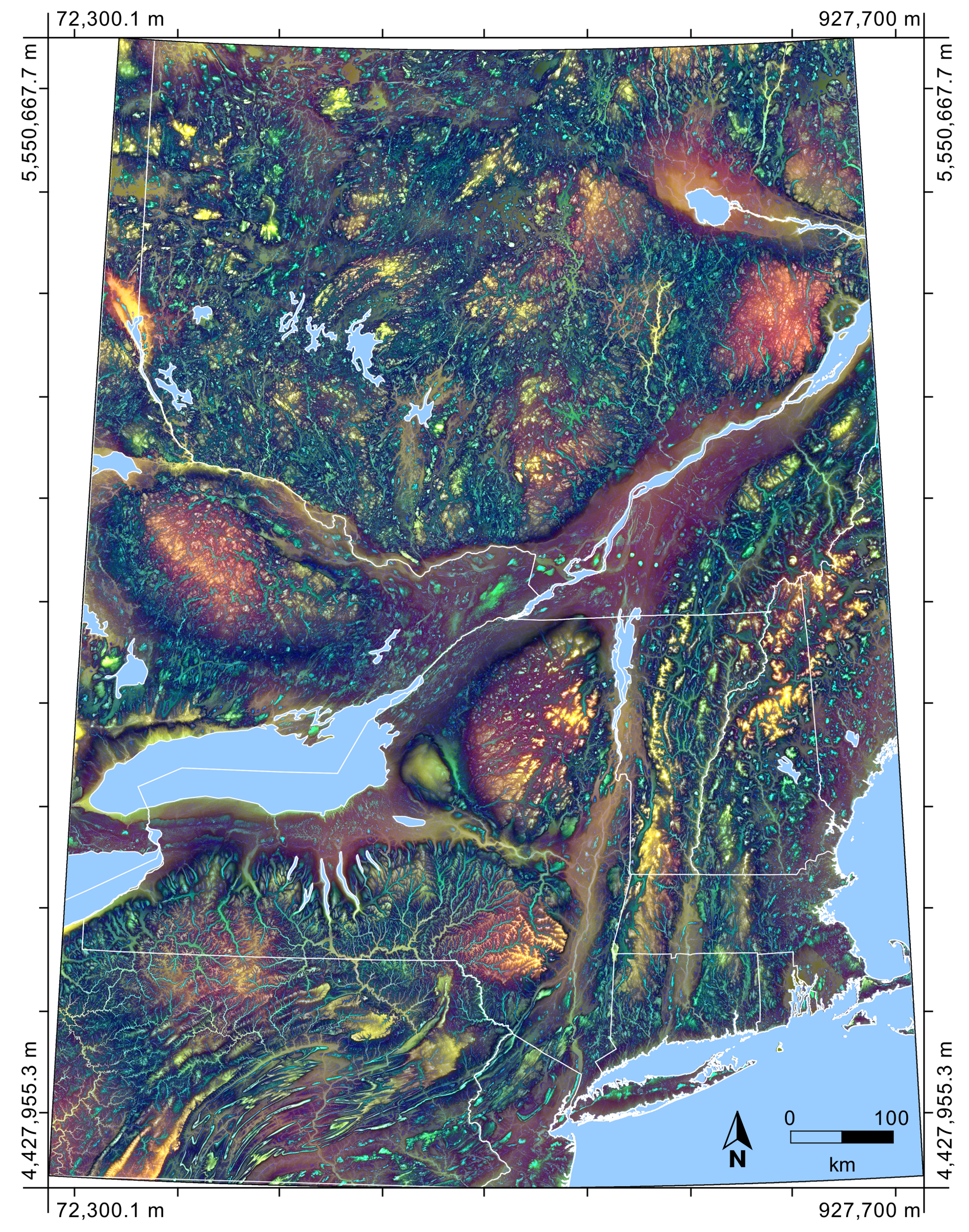
This study uses integral image and integral histogram based approaches to explore two common measures of relative topographic position, deviation from mean elevation (DEV) and elevation percentile (EP). The approaches were applied to a massive DEM of an extensive, heterogeneous region in eastern North America (40°N to 50°N and 70°W to 80°W). Compared with traditional image filtering techniques, the integral image approach was extremely efficient for calculating DEV, enabling high-resolution multi-scale analysis. A technique, based on a novel multi-scale DEV, was developed for visualizing the scaling characteristics of topographic position using color composite imagery. The information density in these images, provided by the contrast in the dominant scale response of nearby pixels, was very high. The integral histogram approach was similarly highly computationally efficient, enabling EP measurement at scales that are not feasible using traditional methods. However, large memory requirements limited applicability to moderate sized DEMs of low-to-moderate relief landscapes.