
Oceanic surface currents monitoring from the synergy of multiple satellite observations
Oceanic surface currents monitoring from the synergy of multiple satellite observations
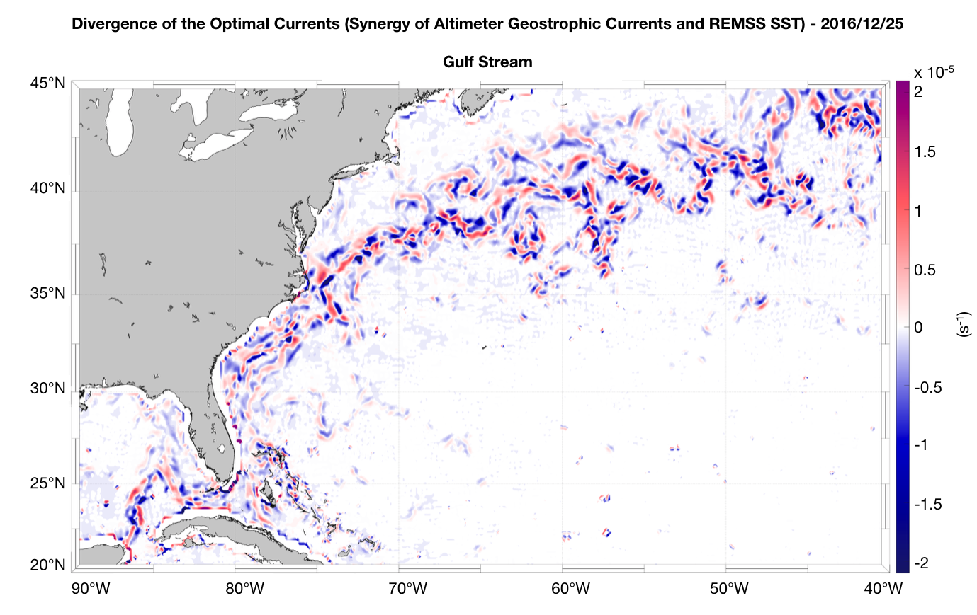
Abstract:
Measuring the oceanic surface currents is a major scientific and socio-economic challenge. The ocean currents modulate natural and anthropogenic processes at several different space and time scales, from global climate change to local dispersal of tracers and pollutants, with implications on the marine ecosystems and the human activities in the marine context. At present, satellite altimetry allows to determine the geostrophic component of the ocean currents at an operational level.
However, this technique provides an incomplete description of the surface processes, being unable to capture the total, unbalanced surface motions. Relying on past theoretical achievements, we propose an optimal combination of altimeter-derived surface currents and high resolution sea-surface temperature (SST) data for improving the surface currents geostrophic estimates, at global scale and in the Mediterranean Sea. The quality of the multi-sensor currents is assessed through comparisons with in-situ estimates (drifting buoys, HF-Radar platforms).
The study evidenced that our synergistic approach can improve the present-day derivation of the surface currents up to 30% locally, also allowing to retrieve the small scale and ageostrophic features. Our results, being based on the optimal combination of operational datasets (e.g. from the European Copernicus Program, NASA, or Remote Sensing Systems) have a strong operational potential, with benefits for both scientific and societal applications (e.g. fishery, ship routing). In the near future, the same approach will be tested with the use of high-resolution satellite derived surface Chlorophyll concentrations. This will enable establish complementarities with the SST based reconstructions at both the regional and global scales.
Back to: Operational Satellite Oceanography I