Applying a multi-scale decoupled modeling approach to evaluation of New Orleans flood defenses.
Applying a multi-scale decoupled modeling approach to evaluation of New Orleans flood defenses.
Abstract:
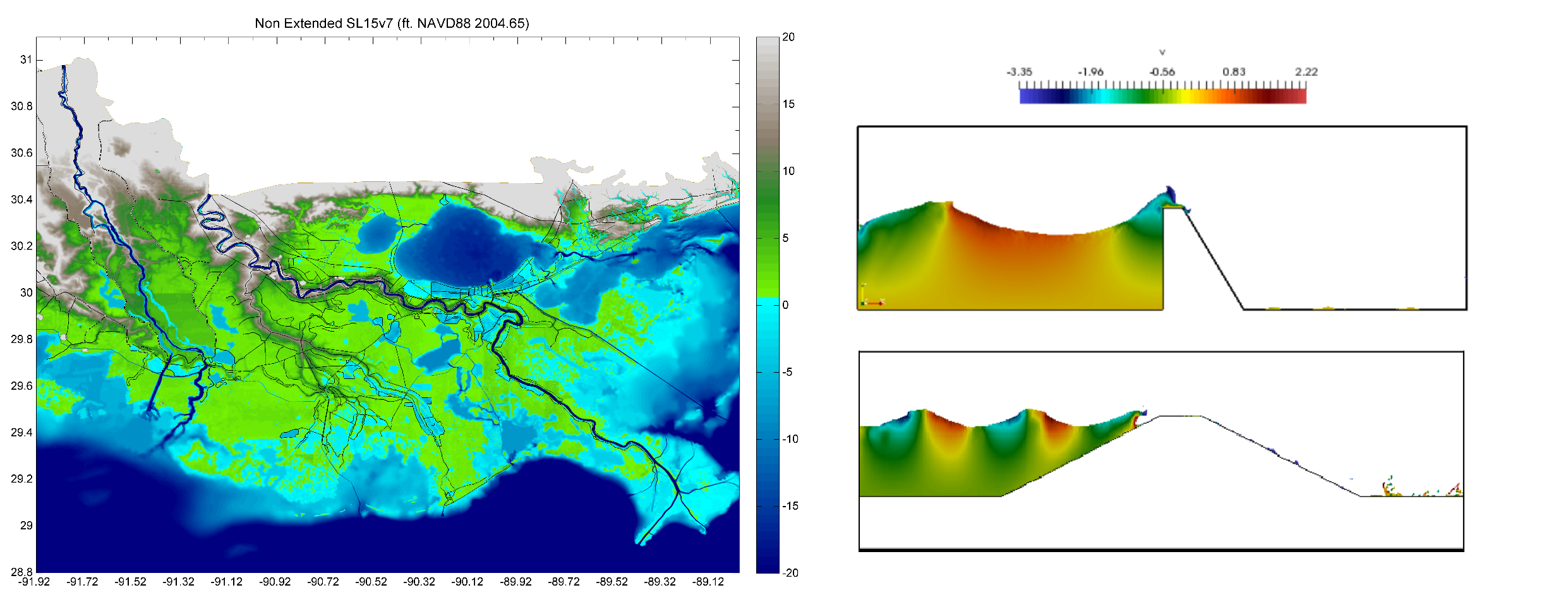
The Greater New Orleans Hurricane and Storm Damage Risk Reduction System (GNO-HSDRRS) is the comprehensive flood defense system constructed in response to Hurricane Katrina. The GNO-HSDRRS is divided into two sub polders which are the Lake Pontchartrain and Vicinity (LPV) and the West Bank and Vicinity (WBV) projects. In order for the system to meet the allowable overtopping criterion throughout the design life, continual evaluation and costly maintainance is required to combat deficiencies resulting from subsidence and sea level rise. This analysis aims to test a multi-scale decoupled modeling approach to evaluating the health of the GNO-HSDRRS via AdCirc (regional scale) and Proteus (local scale). Using surge elevations and wave characteristics extracted from 152-synthetic storms (Adcirc), overtopping of floodwalls and levees were calculated with empirical relationships from the EurOtop guidance. For a more in-depth evaluation of the localized hydraulic processes involved with overtopping of the GNO-HSDRRS structures, the study will be supplemented with computational fluid dynamics (CFD) simulation by imposing identical conditions in Proteus. Primarily, this will serve as an evaluation of the Proteus code's ability to produce accurate overtopping rates for the New Orleans coastal defenses. Secondly, overtopping rates for more complex levee and floodwall geometries will be evaluated by using Proteus as a design tool. The goal is to identify and optimize potential cross-sections that could reduce flood risk more efficiently.