Imaging seawater density and sound-speed gradients from intrusions and double-diffusive mixing processes at fronts
Imaging seawater density and sound-speed gradients from intrusions and double-diffusive mixing processes at fronts
Abstract:
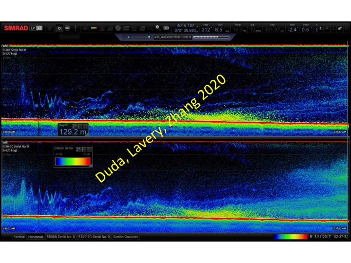
Imaging of internal waves and shear-induced mixing events with sonar backscatter systems is an established research methodology. Waves are imaged by the motion of passive scatterers, and energetic turbulence creates strongly backscattering microstructure. When scatter from plankton is weak enough, the small backscatter from slowly evolving features such as intrusions, salt fingers, and double-diffusive convection can also be imaged, and this can be potentially useful. These are much weaker scattering structures than are plankton populations and active turbulence, but their persistence in time and high spatial coherence enables (but does not guarantee) reliable acoustic remote sensing. Data from five cruises of RV Neil Armstrong in the area of the New England shelf/slope water front demonstrate that the expected signals from these persistent non-turbulent density structures can be detected at frequencies from 18 to 200 kHz. The possibility of remote sensing of three structure types is demonstrated: density gradient layering within intrusions, diffusive-convective microstructure, and salt fingering. The first two of these had been confirmed using other measurements, while the salt-finger scattering has not been as well validated using other sensors. The results open up the possibility of mapping intrusion features with a shipboard, towed, or AUV systems using this method. This may enable targeted physical measurements within intrusions to advance our knowledge, and can provide 2D structure maps if augmenting dropped or tow-yoed probes also employed. Mixing processes within fronts with counteracting temperature and salinity gradients along isopycnals are poorly characterized, so they are good candidates for study with these two linked measurement methods: remote (for survey and mapping) and in situ (for precision and characterization).