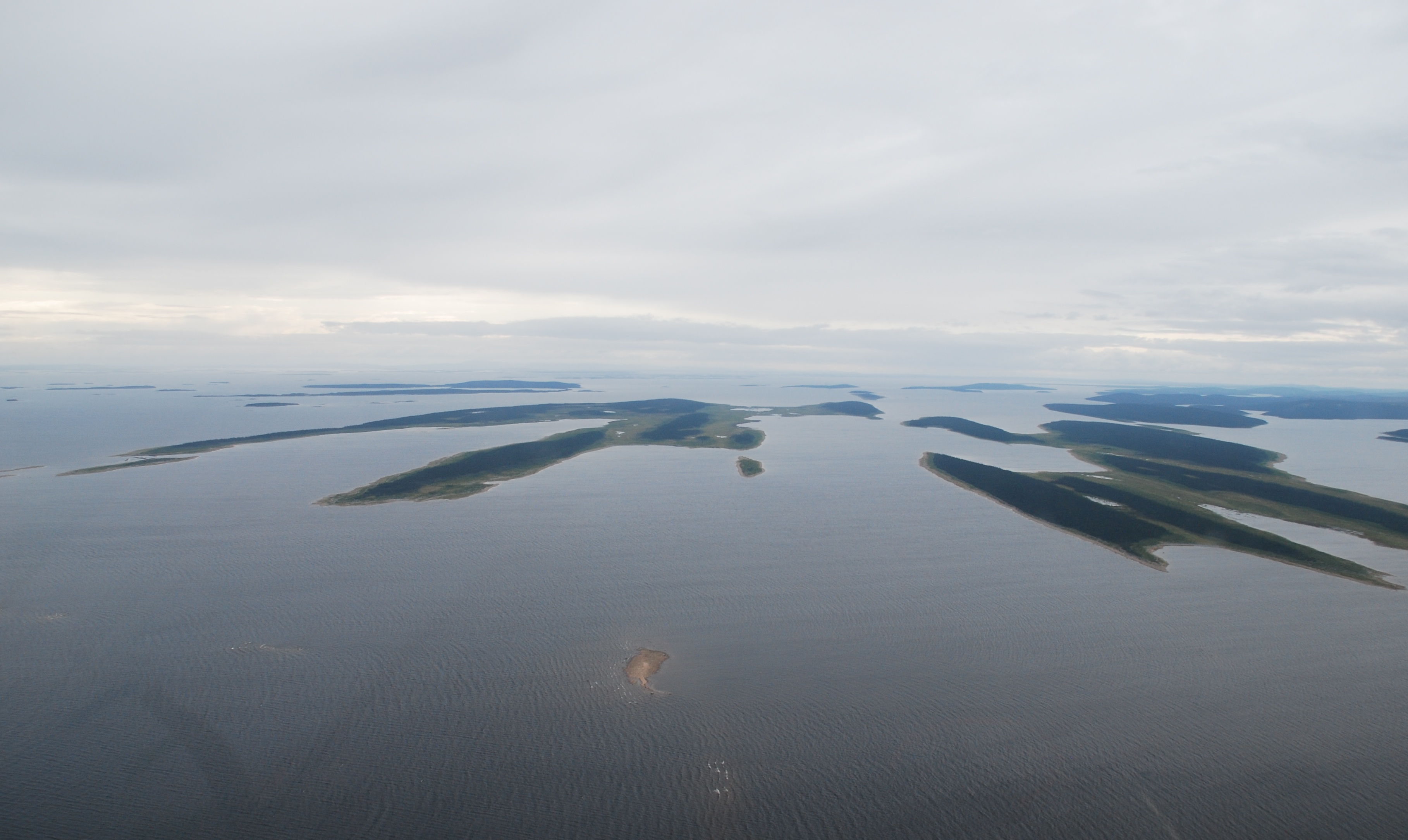
Streamlined and Lobate Landforms, Relating to Successive Ice Flows in the Smallwood Reservoir, Northern Labrador
Streamlined and Lobate Landforms, Relating to Successive Ice Flows in the Smallwood Reservoir, Northern Labrador
Abstract ID#: 35287
English Abstract:
Reconstruction of past ice-flow trajectories, their associated landforms and glacial landsystems are fundamental for successful application of drift prospecting as it provides information on dispersal characteristics of former Pleistocene ice sheets. The sequence of striation trends provides a complete chronology of ice-flow events, which is inscribed on many outcrops of the Smallwood Reservoir in Labrador, including the oldest documented ice flow to the northeast which originated in the Quebec Highlands. Local glacial landforms, however, do not reflect this oldest ice flow event. Lobate or reoriented landforms, with two principal axes parallel to later phase ice movements, occur within the Smallwood Reservoir. These lobate landforms have a multi-phase origin. The first and major landform-forming ice-flow phase was southeastward from ice flowing radially from the Hudson Ice Centre in northern Quebec. Nucleation of drumlin and other streamlined landform formation may have been pre-existing glacial sediments or bedrock outcrops. A subsequent eastward ice-flow remobilized the previously deposited tills and created elongated landforms with high length to width ratios, possibly indicative of fast flowing ice that surged to the Labrador coast. Esker systems in the region are also trend with this late eastward flow. Studies are ongoing to correlate the glacial record with till provenance, as part of the Geological Survey of Canada’s GEM2 Hudson-Ungava Project.