Geoid Determination from Airborne Vector Gravimetry: An Example Using AIRGrav Data from Tanzania
Abstract ID#: 35529
In this presentation, high-resolution airborne vector gravity data over a large area of Northeastern Tanzania is used to compute new high-resolution geoid models, both with and without the use of horizontal gravity data. The geoid models are computed by remove-restore methods using least-squares collocation and Fourier methods, and these results are inter-compared, as well as compared with other recent geoid models and available GPS/levelling data.
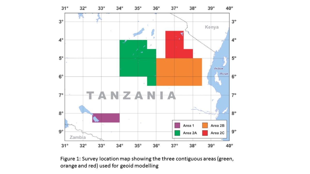
The vector gravity data were acquired in 2012 using a Sander Geophysics AIRGrav system, as part of a large high-resolution multi-parameter survey conducted for the Tanzanian Ministry of Energy and Minerals (Fig. 1). Three large contiguous blocks are used in this study, covering an area of about 180,000 square km (Fig. 1). A larger airborne gravity survey, covering all of Tanzania, was carried out in 2012-13 by DTU Space in cooperation with the Tanzanian Department of Lands, and allows an independent comparison of the geoid results.